AgriInsight
Satellite-based crop health monitoring and decision support for farms.
DjangoPostGISGoogle Earth EngineNDVIEarly warning
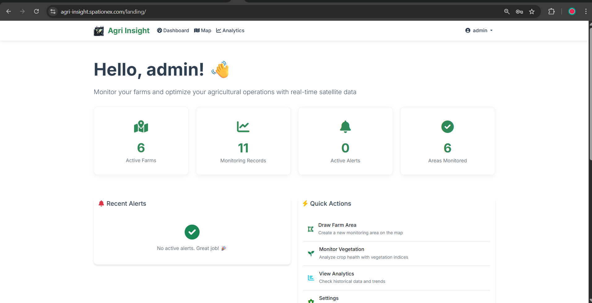
Users define farm areas on an interactive map, analyze crop health using satellite-derived vegetation indices from Google Earth Engine, and receive AI-powered recommendations for yield optimization, irrigation, and sustainable practices. Vegetation indices are computed from public satellite composites; farm boundaries and demo outputs are sample data.
More in this view
- Crop Early Warning System — Crop yield and soil moisture monitoring with automated alerts.
- Maize Yield Prediction — Remote sensing plus ML for maize yield outlooks and food-security risk mapping.
- Obstacle Compliance & Airport GIS System — Prototype web GIS for checking structures against aerodrome obstacle limitation surfaces in Kenya.