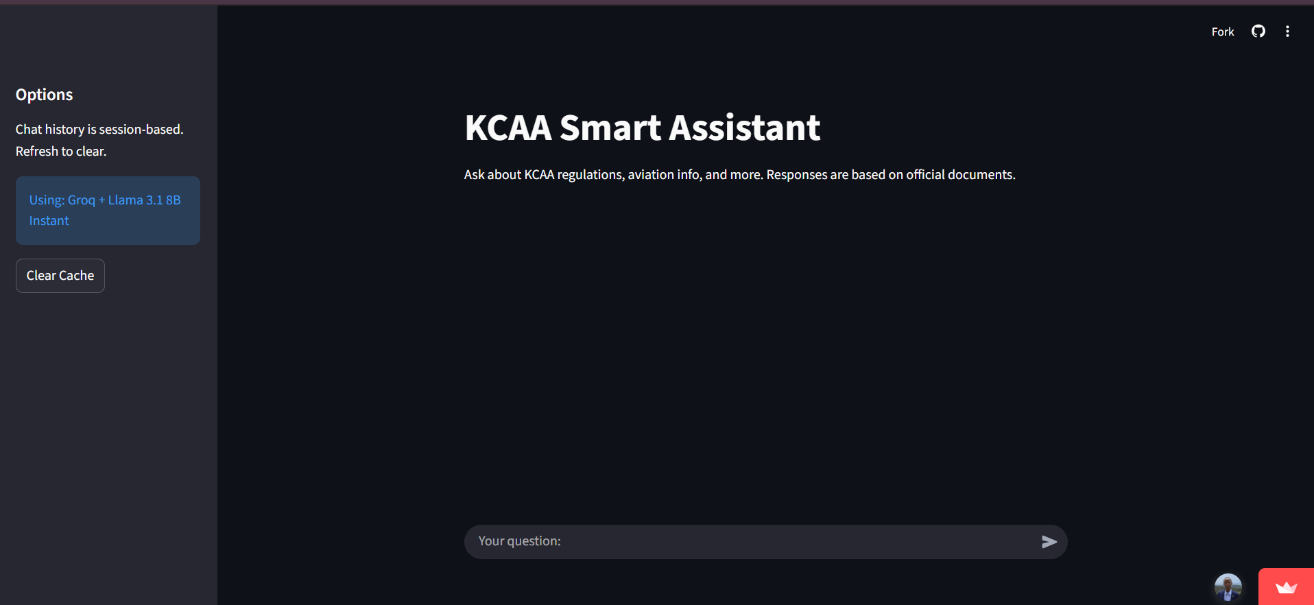
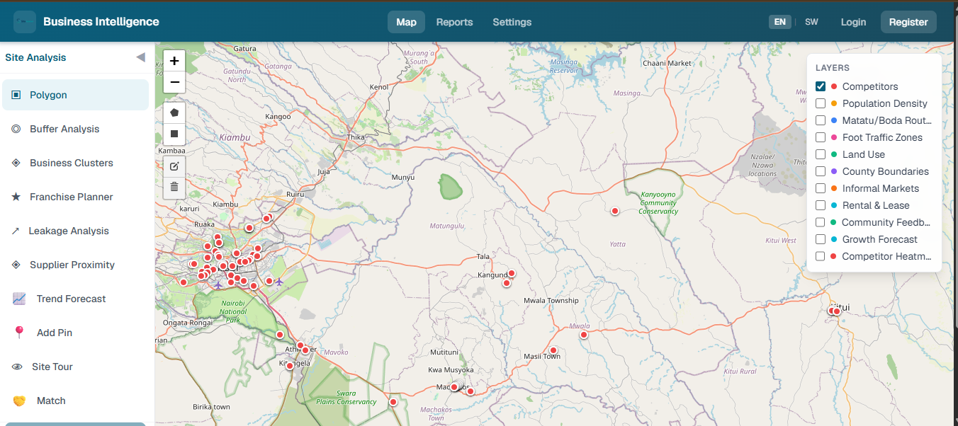
AgriInsight
Satellite-based crop health monitoring and decision support for farms.
DjangoPostGISGoogle Earth EngineNDVIEarly warning
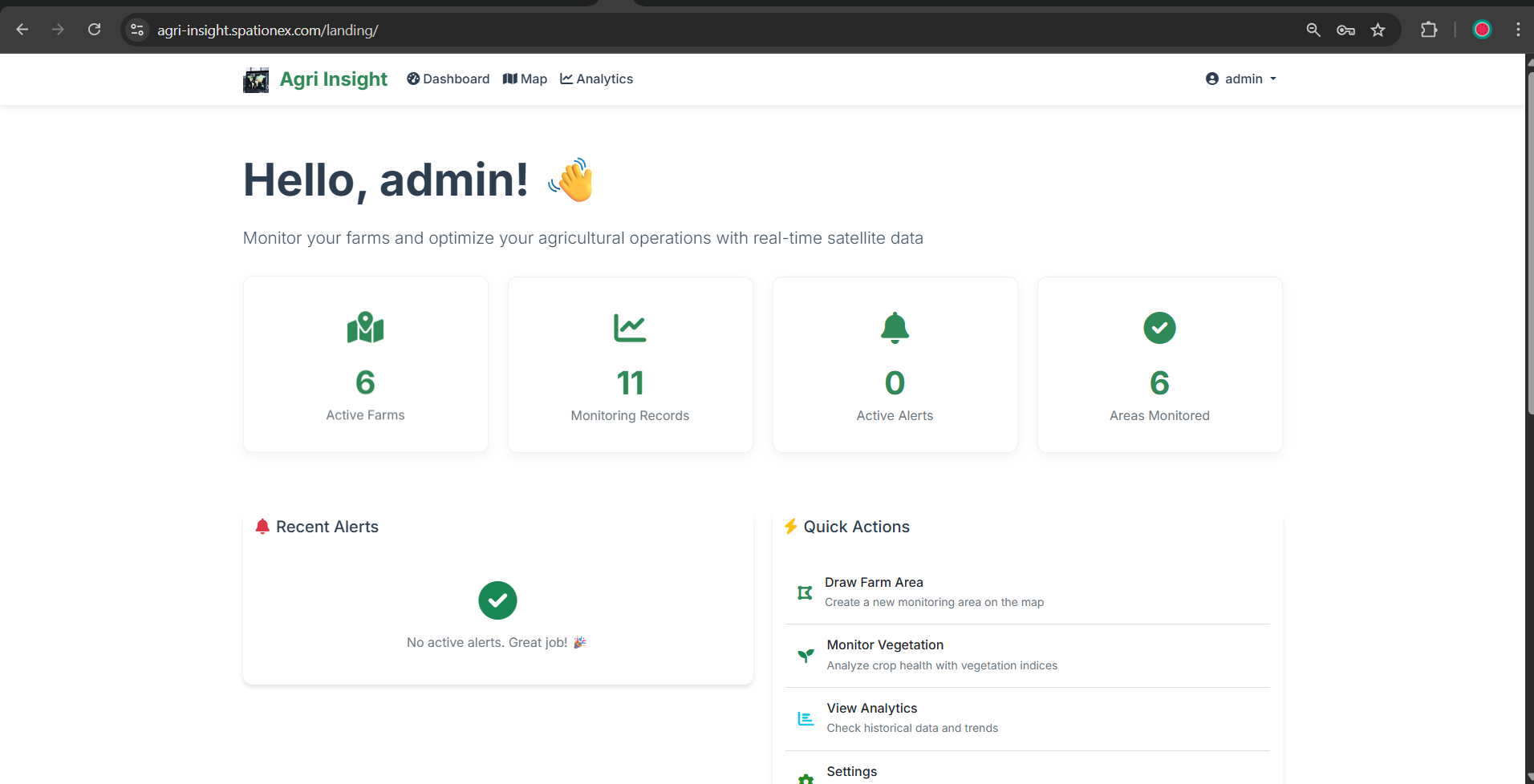
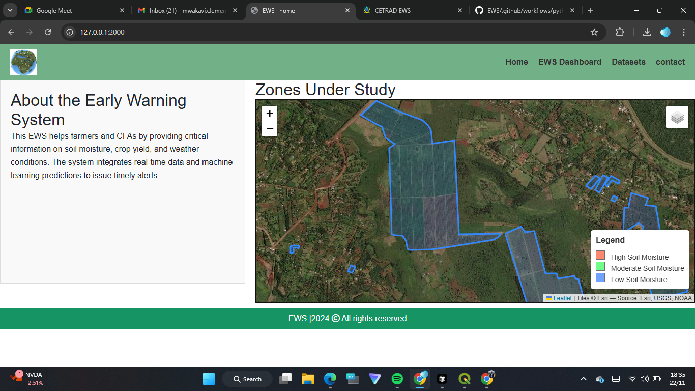
Users define farm areas on an interactive map, analyze crop health using satellite-derived vegetation indices from Google Earth Engine, and receive AI-powered recommendations for yield optimization, irrigation, and sustainable practices. Vegetation indices are computed from public satellite composites; farm boundaries and demo outputs are sample data.