Obstacle Compliance & Airport GIS System
Prototype web GIS for checking structures against aerodrome obstacle limitation surfaces in Kenya.
DjangoGeoDjangoPostGISLeafletICAO Annex 14
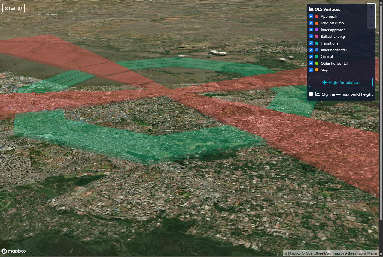
Personal prototype, not an official KCAA system. Models ICAO Annex 14 Vol I (8th ed.) surfaces — approach, inner approach, transitional, balked-landing, take-off-climb, inner horizontal, conical, outer horizontal — modelled on KCAA advisory circulars AC-AGA005C (June 2024) and AC-AGA032A (Feb 2026). Certificates are demonstration outputs.
Data sources are public inputs only (OpenStreetMap basemap, public aerodrome lists and published ICAO/KCAA surface definitions). Surface geometry follows the ICAO Annex 14 parameters in code and is a demonstration model, not a certified survey.
Version history
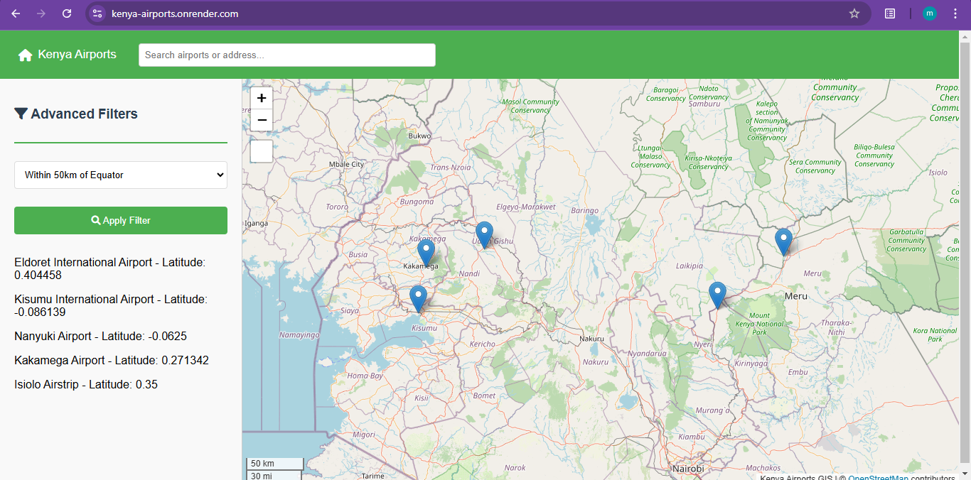
- v1 · Jan 2025 — Airport visualisation and query tool (Render)
- v2 · mid-2025 — PostGIS migration and OLS modelling work
- v3 · Present — OLS engine and approval workflow (Cloud Run)
More in this view
- AssetTrack | Utility Asset Management — Map-based asset inventory, work orders and compliance for utilities in Kenya and East Africa.
- FleetGuard | Fleet Management Dashboard — Live tracking, geofencing, SACCO management and payments for Kenyan logistics.
- SiteSeeker | Retail Location Intelligence — Draw a polygon and get competitors, demographics, traffic and revenue estimates in one panel.